 vesseltracker.com
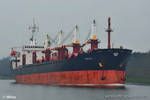
 JAOHAR UK
Current Status
Where is the vessel?
JAOHAR UK is currently in Near JAIGAD, based on AIS data received about 1h ago.
Latest AIS update:
Current position: 17.31184° N, 73.06913° E (Near JAIGAD)
Average speed (last 7 days): Loading…
Average speed (last 30 days): Loading…
Vessel profile: JAOHAR UK is a Bulk Carrier with dimensions 28m x 166m.
This page combines live AIS, route history, probable destination signals, nearby traffic, and port activity for practical vessel monitoring.
The current position of vessel JAOHAR UK is 17.31184 lat / 73.06913 lng. Updated: 2026-04-17 21:39:47 UTCNearest reference points:
- Near JAIGAD
- 49 nm W of Pernem
- Near Mumbai
Currently sailing under the flag of Barbados ![]()
JAOHAR UK built in 2005 year
Deadweight:
27112 tDetails:
Live Vessel JAOHAR UK Analytics (details, animations, etc.)
Recent AIS points (UTC):
2026-04-17 15:58:54 UTC · 17.31167, 73.06833 · SOG 0 kn · COG -1°2026-04-17 18:24:50 UTC · 17.31193, 73.06924 · SOG 0.1 kn · COG 343°
2026-04-17 19:22:55 UTC · 17.31167, 73.06833 · SOG 0 kn · COG -1°
2026-04-17 21:39:47 UTC · 17.31184, 73.06913 · SOG 0.1 kn · COG 348°