 MARINA AMAN
Current Status
Where is the vessel?
MARINA AMAN is currently in 250 nm E of Tan Cang Qui Nhon, based on AIS data received about 14h ago.
Latest AIS update:
Current position: 14.02581° N, 114.10940° E (250 nm E of Tan Cang Qui Nhon)
Average speed (last 7 days): Loading…
Average speed (last 30 days): Loading…
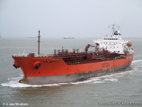
Vessel profile: MARINA AMAN is a Oil/Chemical Tanker with dimensions m x m.
This page combines live AIS, route history, probable destination signals, nearby traffic, and port activity for practical vessel monitoring.
The current position of vessel MARINA AMAN is 14.02581 lat / 114.10940 lng. Updated: 2026-05-24 06:22:13 UTCNearest reference points:
- 232 nm E of Tan Cang Qui Nhon
- 222 nm E of Tan Cang Qui Nhon
- 282 nm E of Tan Cang Qui Nhon
Currently sailing under the flag of Panama ![]()
Details:
Live Vessel MARINA AMAN Analytics (details, animations, etc.)
Recent AIS points (UTC):
2026-05-23 20:53:29 UTC · 15.40822, 115.39292 · SOG 11.6 kn · COG -1°2026-05-23 20:53:29 UTC · 15.40822, 115.39292 · SOG 11.6 kn · COG -1°
2026-05-23 20:53:29 UTC · 15.40822, 115.39292 · SOG 11.6 kn · COG -1°
2026-05-24 06:22:13 UTC · 14.02581, 114.10940 · SOG 11.9 kn · COG 215°