 vesseltracker.com
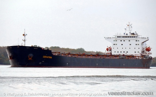
 Cerafina
Current Status
Where is the vessel?
Cerafina is currently in 15 nm S of Kumport, based on AIS data received about 1d ago.
Latest AIS update:
Current position: 40.71939° N, 28.91814° E (15 nm S of Kumport)
Average speed (last 7 days): Loading…
Average speed (last 30 days): Loading…
Vessel profile: Cerafina is a Bulk Carrier with dimensions 225m x 32m.
This page combines live AIS, route history, probable destination signals, nearby traffic, and port activity for practical vessel monitoring.
The current position of vessel Cerafina is 40.71939 lat / 28.91814 lng. Updated: 2026-04-10 07:43:18 UTCNearest reference points:
- 14 nm SW of Maltepe
- 17 nm S of Kumport
- 10 nm SE of Kumport
Currently sailing under the flag of Marshall Is ![]()
Cerafina built in 2005 year
Deadweight:
74759 tDetails:
Live Vessel Cerafina Analytics (details, animations, etc.)
Recent AIS points (UTC):
2026-04-10 02:13:48 UTC · 40.80887, 28.94934 · SOG 1 kn · COG 129°2026-04-10 04:04:29 UTC · 40.77797, 28.94492 · SOG 1.1 kn · COG 120°
2026-04-10 05:34:18 UTC · 40.75323, 28.93679 · SOG 1 kn · COG 133°
2026-04-10 07:43:18 UTC · 40.71939, 28.91814 · SOG 1 kn · COG 171°