 vesseltracker.com
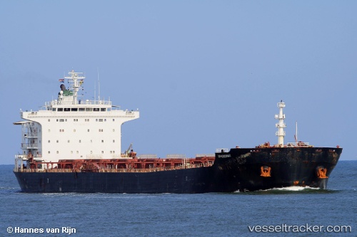
M V Delruba
Current StatusWhere is the vessel?
M V Delruba is currently in 113 nm E of Lü-hua Shan, based on AIS data received about 2h ago.
Latest AIS update:
Current position: 30.29893° N, 124.72259° E (113 nm E of Lü-hua Shan)
Average speed (last 7 days): Loading…
Average speed (last 30 days): Loading…
Vessel profile: M V Delruba is a Bulk Carrier with dimensions 32m x 225m.
This page combines live AIS, route history, probable destination signals, nearby traffic, and port activity for practical vessel monitoring.
The current position of vessel M V Delruba is 30.29893 lat / 124.72259 lng. Updated: 2026-04-01 18:26:33 UTCNearest reference points:
- 86 nm E of Lü-hua Shan
- 75 nm SE of Lü-hua Shan
- 97 nm E of Lü-hua Shan
Details:
Live Vessel M V Delruba Analytics (details, animations, etc.)
Recent AIS points (UTC):
2026-04-01 14:24:54 UTC · 31.07705, 124.72792 · SOG 10.6 kn · COG 178°2026-04-01 15:52:24 UTC · 30.80999, 124.73668 · SOG 11.1 kn · COG 190°
2026-04-01 17:58:42 UTC · 30.39452, 124.72657 · SOG 12.3 kn · COG 187°
2026-04-01 18:26:33 UTC · 30.29893, 124.72259 · SOG 12.5 kn · COG 181°