 vesseltracker.com
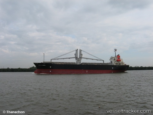
 Hosei 58
Current Status
Where is the vessel?
Hosei 58 is currently in Near AL DUQM, based on AIS data received about 12h ago.
Latest AIS update:
Current position: 19.74384° N, 57.77080° E (Near AL DUQM)
Average speed (last 7 days): Loading…
Average speed (last 30 days): Loading…
Vessel profile: Hosei 58 is a General Cargo Ship with dimensions 120m x 21m.
This page combines live AIS, route history, probable destination signals, nearby traffic, and port activity for practical vessel monitoring.
The current position of vessel Hosei 58 is 19.74384 lat / 57.77080 lng. Updated: 2026-04-04 20:04:48 UTCNearest reference points:
- Near AL DUQM
- Near Duqm
- 39 nm SE of Pizhou
Currently sailing under the flag of Panama ![]()
Hosei 58 built in 2004 year
Deadweight:
13276 tDetails:
Live Vessel Hosei 58 Analytics (details, animations, etc.)
Recent AIS points (UTC):
2026-04-04 19:19:53 UTC · 19.74386, 57.77065 · SOG 0.2 kn · COG 181°2026-04-04 20:04:48 UTC · 19.74384, 57.77080 · SOG 0.2 kn · COG 200°
2026-04-04 20:04:48 UTC · 19.74384, 57.77080 · SOG 0.2 kn · COG 200°
2026-04-04 20:04:48 UTC · 19.74384, 57.77080 · SOG 0.2 kn · COG 200°