 vesseltracker.com
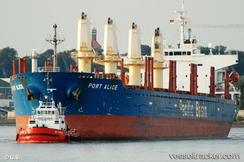
 PACIFIC STAR
Current Status
Where is the vessel?
PACIFIC STAR is currently in 167 nm SE of Barra de Santo Antonio, based on AIS data received about 1h ago.
Latest AIS update:
Current position: 11.21350° S, 33.33060° W (167 nm SE of Barra de Santo Antonio)
Average speed (last 7 days): Loading…
Average speed (last 30 days): Loading…
Vessel profile: PACIFIC STAR is a Bulk Carrier with dimensions m x m.
This page combines live AIS, route history, probable destination signals, nearby traffic, and port activity for practical vessel monitoring.
The current position of vessel PACIFIC STAR is -11.21350 lat / -33.33060 lng. Updated: 2026-04-13 05:49:14 UTCNearest reference points:
- 157 nm SE of Maceio
Currently sailing under the flag of Malaysia ![]()
Details:
Live Vessel PACIFIC STAR Analytics (details, animations, etc.)
Recent AIS points (UTC):
2026-04-13 00:13:10 UTC · -12.05203, -33.69440 · SOG 9.9 kn · COG 25°2026-04-13 01:25:53 UTC · -11.86558, -33.61178 · SOG 10 kn · COG 23°
2026-04-13 04:12:04 UTC · -11.45135, -33.43225 · SOG 9.5 kn · COG 23°
2026-04-13 05:49:14 UTC · -11.21350, -33.33060 · SOG 9.5 kn · COG 23°