 vesseltracker.com
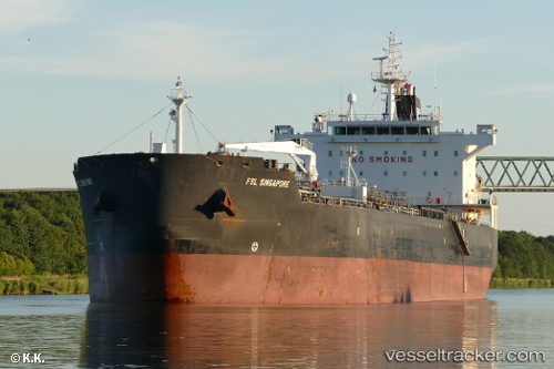
 BOND
BOND
Current Status
Where is the vessel?
BOND is currently in Near Paranagua, based on AIS data received about 1h ago.
Latest AIS update:
Current position: 25.50061° S, 48.44086° W (Near Paranagua)
Average speed (last 7 days): Loading…
Average speed (last 30 days): Loading…
Vessel profile: BOND is a Oil Products Tanker with dimensions m x m.
This page combines live AIS, route history, probable destination signals, nearby traffic, and port activity for practical vessel monitoring.
The current position of vessel BOND is -25.50061 lat / -48.44086 lng. Updated: 2026-04-04 08:22:57 UTCNearest reference points:
- 24 nm E of Caioba
- 32 nm E of Caioba
- 10 nm NE of CAMBORIU
Currently sailing under the flag of Antigua and Barbuda ![]()
Details:
Live Vessel BOND Analytics (details, animations, etc.)
Recent AIS points (UTC):
2026-04-04 02:16:55 UTC · -25.49988, -48.44330 · SOG 0 kn · COG 79°2026-04-04 04:13:57 UTC · -25.50034, -48.44302 · SOG 0.1 kn · COG 69°
2026-04-04 05:31:57 UTC · -25.50095, -48.44129 · SOG 0.3 kn · COG 351°
2026-04-04 08:22:57 UTC · -25.50061, -48.44086 · SOG 0.1 kn · COG 330°