 vesseltracker.com
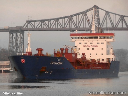
 LUMINA T
Current Status
Where is the vessel?
LUMINA T is currently in Near Ablogamé, based on AIS data received less than 1h ago.
Latest AIS update:
Current position: 6.08284° N, 1.28272° E (Near Ablogamé)
Average speed (last 7 days): Loading…
Average speed (last 30 days): Loading…
Vessel profile: LUMINA T is a Oil/Chemical Tanker with dimensions m x m.
This page combines live AIS, route history, probable destination signals, nearby traffic, and port activity for practical vessel monitoring.
The current position of vessel LUMINA T is 6.08284 lat / 1.28272 lng. Updated: 2026-04-17 21:45:14 UTCNearest reference points:
- Near Ablogamé
- Near Cotonou
- Near Kirikiri
Currently sailing under the flag of Panama ![]()
Details:
Live Vessel LUMINA T Analytics (details, animations, etc.)
Recent AIS points (UTC):
2026-04-17 16:02:43 UTC · 6.03635, 1.24018 · SOG 0.1 kn · COG 154°2026-04-17 17:23:13 UTC · 6.03634, 1.24018 · SOG 0.2 kn · COG 152°
2026-04-17 19:37:33 UTC · 6.03672, 1.24713 · SOG 4.1 kn · COG 37°
2026-04-17 21:45:14 UTC · 6.08284, 1.28272 · SOG 0 kn · COG 190°