 vesseltracker.com
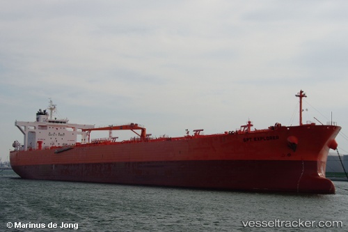
 NYXORA
Current Status
Where is the vessel?
NYXORA is currently in 56 nm S of Gavdos Chanea, based on AIS data received about 1h ago.
Latest AIS update:
Current position: 33.93066° N, 23.93425° E (56 nm S of Gavdos Chanea)
Average speed (last 7 days): Loading…
Average speed (last 30 days): Loading…
Vessel profile: NYXORA is a Crude Oil Tanker with dimensions m x m.
This page combines live AIS, route history, probable destination signals, nearby traffic, and port activity for practical vessel monitoring.
The current position of vessel NYXORA is 33.93066 lat / 23.93425 lng. Updated: 2026-04-07 00:13:46 UTCNearest reference points:
- 67 nm S of Kali Limenes
- Near Kali Limenes
- 59 nm W of Paleochora
Currently sailing under the flag of Marshall Islands ![]()
Details:
Live Vessel NYXORA Analytics (details, animations, etc.)
Recent AIS points (UTC):
2026-04-06 17:26:17 UTC · 33.57447, 25.58112 · SOG 13.2 kn · COG 285°2026-04-06 20:18:47 UTC · 33.72833, 24.88310 · SOG 12.3 kn · COG 279°
2026-04-06 21:53:33 UTC · 33.80833, 24.49500 · SOG 12 kn · COG -1°
2026-04-07 00:13:46 UTC · 33.93066, 23.93425 · SOG 12 kn · COG 281°