 vesseltracker.com
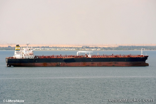
Lake Trout
Current StatusWhere is the vessel?
Lake Trout is currently in 25 nm NW of Puerto Piritu, based on AIS data received less than 1h ago.
Latest AIS update:
Current position: 10.45186° N, 65.22871° W (25 nm NW of Puerto Piritu)
Average speed (last 7 days): Loading…
Average speed (last 30 days): Loading…
Vessel profile: Lake Trout is a Crude Oil Tanker with dimensions 32m x 228m.
This page combines live AIS, route history, probable destination signals, nearby traffic, and port activity for practical vessel monitoring.
The current position of vessel Lake Trout is 10.45186 lat / -65.22871 lng. Updated: 2026-04-20 19:25:22 UTCNearest reference points:
- 15 nm SW of Punta de Piedras
- Near Puerto Sucre
Details:
Live Vessel Lake Trout Analytics (details, animations, etc.)
Recent AIS points (UTC):
2026-04-20 16:47:08 UTC · 10.80333, -65.69667 · SOG 11 kn · COG -1°2026-04-20 17:23:06 UTC · 10.74833, -65.63167 · SOG 12 kn · COG -1°
2026-04-20 19:17:35 UTC · 10.47165, -65.25418 · SOG 14.7 kn · COG 130°
2026-04-20 19:25:22 UTC · 10.45186, -65.22871 · SOG 14.6 kn · COG 130°