 vesseltracker.com
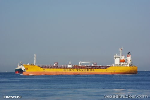
 STOLT RINDO
Current Status
Where is the vessel?
STOLT RINDO is currently in 37 nm W of Nindakara, based on AIS data received less than 1h ago.
Latest AIS update:
Current position: 8.93956° N, 75.91482° E (37 nm W of Nindakara)
Average speed (last 7 days): Loading…
Average speed (last 30 days): Loading…
Vessel profile: STOLT RINDO is a Oil/Chemical Tanker with dimensions m x m.
This page combines live AIS, route history, probable destination signals, nearby traffic, and port activity for practical vessel monitoring.
The current position of vessel STOLT RINDO is 8.93956 lat / 75.91482 lng. Updated: 2026-04-20 22:49:09 UTCNearest reference points:
- Near Edappally
- Near Cochin
- 41 nm S of Nagercoil
Currently sailing under the flag of Singapore ![]()
Details:
Live Vessel STOLT RINDO Analytics (details, animations, etc.)
Recent AIS points (UTC):
2026-04-20 19:41:19 UTC · 8.41135, 76.25851 · SOG 12 kn · COG -1°2026-04-20 19:46:19 UTC · 8.42300, 76.24741 · SOG 11.8 kn · COG -1°
2026-04-20 21:41:29 UTC · 8.73710, 76.02166 · SOG 12.1 kn · COG -1°
2026-04-20 22:49:09 UTC · 8.93956, 75.91482 · SOG 12.1 kn · COG 334°