 vesseltracker.com
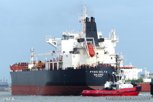
 MARIA GLORY
Current Status
Where is the vessel?
MARIA GLORY is currently in 210 nm N of Pulau Lang Lang, based on AIS data received about 2h ago.
Latest AIS update:
Current position: 10.83638° N, 113.19290° E (210 nm N of Pulau Lang Lang)
Average speed (last 7 days): Loading…
Average speed (last 30 days): Loading…
Vessel profile: MARIA GLORY is a Oil/Chemical Tanker with dimensions m x m.
This page combines live AIS, route history, probable destination signals, nearby traffic, and port activity for practical vessel monitoring.
The current position of vessel MARIA GLORY is 10.83638 lat / 113.19290 lng. Updated: 2026-04-19 09:53:30 UTCNearest reference points:
- 211 nm N of Pulau Lang Lang
- 226 nm SE of Tan Cang Qui Nhon
- 220 nm N of Pulau Lang Lang
Currently sailing under the flag of India ![]()
Details:
Live Vessel MARIA GLORY Analytics (details, animations, etc.)
Recent AIS points (UTC):
2026-04-19 04:47:10 UTC · 10.21440, 112.39347 · SOG 11 kn · COG 51°2026-04-19 08:09:11 UTC · 10.62411, 112.92189 · SOG 11 kn · COG 50°
2026-04-19 09:53:30 UTC · 10.83638, 113.19290 · SOG 11 kn · COG 51°
2026-04-19 09:53:30 UTC · 10.83638, 113.19290 · SOG 11 kn · COG 51°