 vesseltracker.com
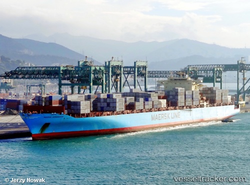
 Maersk Serangoon
Current Status
Where is the vessel?
Maersk Serangoon is currently in 21 nm SE of Cape Henry, based on AIS data received less than 1h ago.
Latest AIS update:
Current position: 36.74653° N, 75.62791° W (21 nm SE of Cape Henry)
Average speed (last 7 days): Loading…
Average speed (last 30 days): Loading…
Vessel profile: Maersk Serangoon is a Container Ship with dimensions 318m x 40m.
This page combines live AIS, route history, probable destination signals, nearby traffic, and port activity for practical vessel monitoring.
The current position of vessel Maersk Serangoon is 36.74653 lat / -75.62791 lng. Updated: 2026-04-18 00:03:33 UTCNearest reference points:
- 26 nm E of Corolla
- Near Little Creek
- Near Fentress
Currently sailing under the flag of Singapore ![]()
Maersk Serangoon built in 2007 year
Deadweight:
85250 tDetails:
Live Vessel Maersk Serangoon Analytics (details, animations, etc.)
Recent AIS points (UTC):
2026-04-17 17:46:57 UTC · 36.96807, -76.08907 · SOG 17.3 kn · COG 109°2026-04-17 20:04:13 UTC · 36.76838, -75.68493 · SOG 6.3 kn · COG 116°
2026-04-17 21:54:32 UTC · 36.74558, -75.62886 · SOG 0 kn · COG 119°
2026-04-18 00:03:33 UTC · 36.74653, -75.62791 · SOG 0 kn · COG 144°