 vesseltracker.com
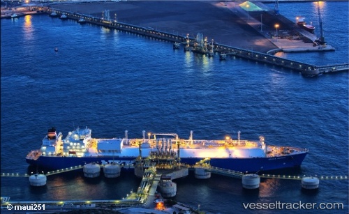
Grace Acacia
Current StatusWhere is the vessel?
Grace Acacia is currently in 22 nm E of Boyne Island, based on AIS data received about 1h ago.
Latest AIS update:
Current position: 23.81040° S, 151.73598° E (22 nm E of Boyne Island)
Average speed (last 7 days): Loading…
Average speed (last 30 days): Loading…
Vessel profile: Grace Acacia is a Lng Tanker with dimensions 44m x 288m.
This page combines live AIS, route history, probable destination signals, nearby traffic, and port activity for practical vessel monitoring.
The current position of vessel Grace Acacia is -23.81040 lat / 151.73598 lng. Updated: 2026-03-28 19:54:51 UTCNearest reference points:
- Near Boyne Island
- Near Gladstone Harbor
- Near ROSSLYN
Details:
Live Vessel Grace Acacia Analytics (details, animations, etc.)
Recent AIS points (UTC):
2026-03-28 14:22:18 UTC · -23.88681, 152.86395 · SOG 15.8 kn · COG 314°2026-03-28 15:30:21 UTC · -23.82109, 152.64113 · SOG 14.8 kn · COG 206°
2026-03-28 17:38:23 UTC · -23.95882, 152.16193 · SOG 14.6 kn · COG 247°
2026-03-28 19:54:51 UTC · -23.81040, 151.73598 · SOG 8 kn · COG 275°