 vesseltracker.com
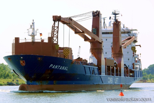
 OPTIMAX II
Current Status
Where is the vessel?
OPTIMAX II is currently in 15 nm W of King Abdullah City, based on AIS data received less than 1h ago.
Latest AIS update:
Current position: 22.35913° N, 38.81972° E (15 nm W of King Abdullah City)
Average speed (last 7 days): Loading…
Average speed (last 30 days): Loading…
Vessel profile: OPTIMAX II is a General Cargo Ship with dimensions 20m x 120m.
This page combines live AIS, route history, probable destination signals, nearby traffic, and port activity for practical vessel monitoring.
The current position of vessel OPTIMAX II is 22.35913 lat / 38.81972 lng. Updated: 2026-04-21 06:00:42 UTCNearest reference points:
- Near King Abdullah City
- Near King Abdullah
- Near Rabigh
Currently sailing under the flag of Singapore ![]()
OPTIMAX II built in 2004 year
Deadweight:
7837 tDetails:
Live Vessel OPTIMAX II Analytics (details, animations, etc.)
Recent AIS points (UTC):
2026-04-21 02:10:45 UTC · 22.39074, 38.80834 · SOG 1.6 kn · COG 228°2026-04-21 04:02:08 UTC · 22.34040, 38.80918 · SOG 1.8 kn · COG 195°
2026-04-21 04:37:29 UTC · 22.32119, 38.81433 · SOG 2.2 kn · COG 28°
2026-04-21 06:00:42 UTC · 22.35913, 38.81972 · SOG 1.6 kn · COG 315°