 vesseltracker.com
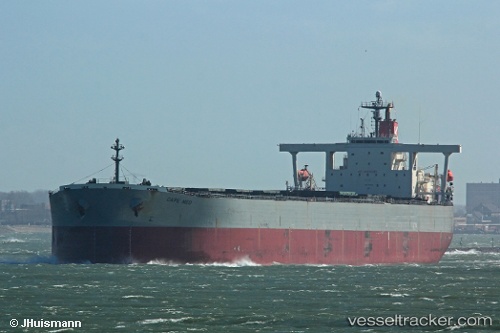
Cape Med
Current StatusWhere is the vessel?
Cape Med is currently in 42 nm E of Slipi, based on AIS data received about 2h ago.
Latest AIS update:
Current position: 6.32020° N, 107.47433° E (42 nm E of Slipi)
Average speed (last 7 days): Loading…
Average speed (last 30 days): Loading…
Vessel profile: Cape Med is a Bulk Carrier with dimensions 47m x 290m.
This page combines live AIS, route history, probable destination signals, nearby traffic, and port activity for practical vessel monitoring.
The current position of vessel Cape Med is 6.32020 lat / 107.47433 lng. Updated: 2026-04-09 09:23:18 UTCNearest reference points:
- 36 nm SW of Slipi
- 11 nm N of Gombong
- 46 nm E of Kakap Natuna Terminal
Details:
Live Vessel Cape Med Analytics (details, animations, etc.)
Recent AIS points (UTC):
2026-04-09 04:18:32 UTC · 5.72950, 107.08108 · SOG 8.1 kn · COG -1°2026-04-09 05:43:40 UTC · 5.89457, 107.18702 · SOG 8.1 kn · COG -1°
2026-04-09 06:28:44 UTC · 5.97858, 107.24273 · SOG 8.3 kn · COG -1°
2026-04-09 09:23:18 UTC · 6.32020, 107.47433 · SOG 8.4 kn · COG 35°