 vesseltracker.com
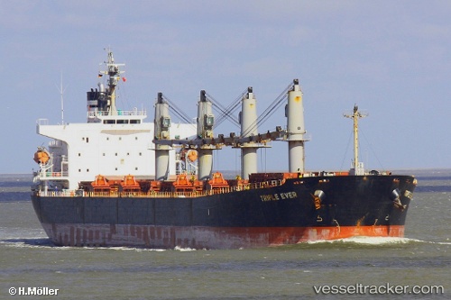
Manalagi Hita
Current StatusWhere is the vessel?
Manalagi Hita is currently in 57 nm S of Labuha, Molucas, based on AIS data received about 4h ago.
Latest AIS update:
Current position: 1.55708° S, 127.38858° E (57 nm S of Labuha, Molucas)
Average speed (last 7 days): Loading…
Average speed (last 30 days): Loading…
Vessel profile: Manalagi Hita is a Bulk Carrier with dimensions 32m x 190m.
This page combines live AIS, route history, probable destination signals, nearby traffic, and port activity for practical vessel monitoring.
The current position of vessel Manalagi Hita is -1.55708 lat / 127.38858 lng. Updated: 2026-04-21 20:01:05 UTCNearest reference points:
- 55 nm S of Labuha, Molucas
- 69 nm NW of Wainibe
- 13 nm NE of WEDA
Details:
Live Vessel Manalagi Hita Analytics (details, animations, etc.)
Recent AIS points (UTC):
2026-04-21 19:46:04 UTC · -1.55757, 127.38877 · SOG 0.3 kn · COG -1°2026-04-21 20:01:05 UTC · -1.55708, 127.38858 · SOG 0.1 kn · COG -1°
2026-04-21 20:01:05 UTC · -1.55708, 127.38858 · SOG 0.1 kn · COG -1°
2026-04-21 20:01:05 UTC · -1.55708, 127.38858 · SOG 0.1 kn · COG -1°