 vesseltracker.com
 MV.MUHARRIK
Current Status
Where is the vessel?
MV.MUHARRIK is currently in 34 nm E of RAHA, based on AIS data received about 1h ago.
Latest AIS update:
Current position: 4.92435° S, 123.29980° E (34 nm E of RAHA)
Average speed (last 7 days): Loading…
Average speed (last 30 days): Loading…
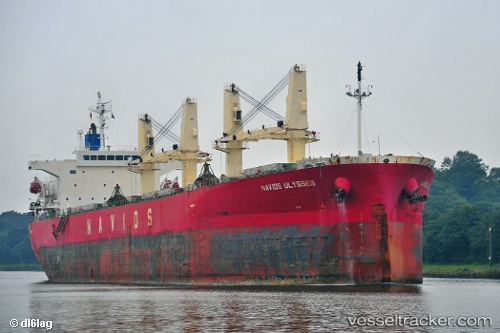
Vessel profile: MV.MUHARRIK is a Bulk Carrier with dimensions m x m.
This page combines live AIS, route history, probable destination signals, nearby traffic, and port activity for practical vessel monitoring.
The current position of vessel MV.MUHARRIK is -4.92435 lat / 123.29980 lng. Updated: 2026-03-26 16:05:31 UTCNearest reference points:
- Near Labuan
- Near BAUBAU
- 11 nm NW of KENDARI
Currently sailing under the flag of Indonesia ![]()
Details:
Live Vessel MV.MUHARRIK Analytics (details, animations, etc.)
Recent AIS points (UTC):
2026-03-26 10:12:00 UTC · -5.74610, 122.71135 · SOG 10.4 kn · COG 93°2026-03-26 11:29:30 UTC · -5.66123, 122.90680 · SOG 11 kn · COG 48°
2026-03-26 14:21:00 UTC · -5.27570, 123.29358 · SOG 10.5 kn · COG 2°
2026-03-26 16:05:31 UTC · -4.92435, 123.29980 · SOG 12.2 kn · COG 2°