 vesseltracker.com
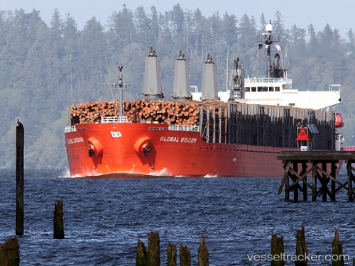
 BOBIK
BOBIK
Current Status
Where is the vessel?
BOBIK is currently in 105 nm NW of Koniya, based on AIS data received less than 1h ago.
Latest AIS update:
Current position: 29.57833° N, 128.16167° E (105 nm NW of Koniya)
Average speed (last 7 days): Loading…
Average speed (last 30 days): Loading…
Vessel profile: BOBIK is a Bulk Carrier with dimensions m x m.
This page combines live AIS, route history, probable destination signals, nearby traffic, and port activity for practical vessel monitoring.
The current position of vessel BOBIK is 29.57833 lat / 128.16167 lng. Updated: 2026-04-17 07:57:59 UTCNearest reference points:
- 71 nm SW of Taniyama
- 163 nm S of Seogwipo
- 18 nm W of Koniya
Currently sailing under the flag of Barbados ![]()
Details:
Live Vessel BOBIK Analytics (details, animations, etc.)
Recent AIS points (UTC):
2026-04-17 01:54:57 UTC · 30.04167, 129.07333 · SOG 10 kn · COG -1°2026-04-17 03:57:54 UTC · 29.86500, 128.75667 · SOG 9 kn · COG -1°
2026-04-17 05:42:56 UTC · 29.73167, 128.49834 · SOG 8 kn · COG -1°
2026-04-17 07:57:59 UTC · 29.57833, 128.16167 · SOG 8 kn · COG -1°