 vesseltracker.com
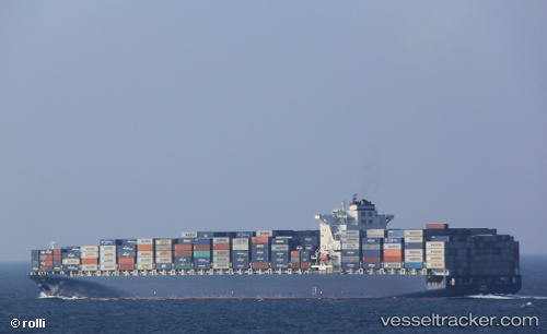
 MSC TEXAS
Current Status
Where is the vessel?
MSC TEXAS is currently in 217 nm SW of Tsiombe, based on AIS data received about 1h ago.
Latest AIS update:
Current position: 27.71318° S, 42.47080° E (217 nm SW of Tsiombe)
Average speed (last 7 days): Loading…
Average speed (last 30 days): Loading…
Vessel profile: MSC TEXAS is a Container Ship with dimensions 334m x 334m.
This page combines live AIS, route history, probable destination signals, nearby traffic, and port activity for practical vessel monitoring.
The current position of vessel MSC TEXAS is -27.71318 lat / 42.47080 lng. Updated: 2026-03-30 14:17:33 UTCNearest reference points:
- 148 nm SW of Tsiombe
- 70 nm SW of Tsiombe
- Open sea, approx. 401 nm off the nearest listed port
Currently sailing under the flag of Liberia ![]()
MSC TEXAS built in 2006 year
Deadweight:
100680 tDetails:
Live Vessel MSC TEXAS Analytics (details, animations, etc.)
Recent AIS points (UTC):
2026-03-30 07:21:50 UTC · -28.58244, 40.36636 · SOG 17.6 kn · COG 66°2026-03-30 10:05:21 UTC · -28.23622, 41.19464 · SOG 17.6 kn · COG 65°
2026-03-30 12:18:39 UTC · -27.95347, 41.86559 · SOG 17.9 kn · COG 65°
2026-03-30 14:17:33 UTC · -27.71318, 42.47080 · SOG 17.9 kn · COG 65°