 vesseltracker.com
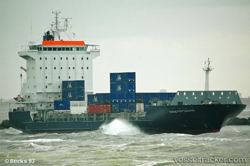
 RMS ROSE
Current Status
Where is the vessel?
RMS ROSE is currently in Near El Grao, based on AIS data received less than 1h ago.
Latest AIS update:
Current position: 39.96634° N, 0.02802° E (Near El Grao)
Average speed (last 7 days): Loading…
Average speed (last 30 days): Loading…
Vessel profile: RMS ROSE is a Container Ship with dimensions m x m.
This page combines live AIS, route history, probable destination signals, nearby traffic, and port activity for practical vessel monitoring.
The current position of vessel RMS ROSE is 39.96634 lat / 0.02802 lng. Updated: 2026-04-20 19:53:47 UTCNearest reference points:
- Near El Grao
- Near BURRIANA
- Near OROPESA DEL MAR
Currently sailing under the flag of Barbados ![]()
Details:
Live Vessel RMS ROSE Analytics (details, animations, etc.)
Recent AIS points (UTC):
2026-04-20 16:53:35 UTC · 39.96635, 0.02806 · SOG 0 kn · COG 193°2026-04-20 17:32:39 UTC · 39.96635, 0.02804 · SOG 0 kn · COG 193°
2026-04-20 19:38:30 UTC · 39.96632, 0.02798 · SOG 0 kn · COG 193°
2026-04-20 19:53:47 UTC · 39.96634, 0.02802 · SOG 0 kn · COG 193°