 vesseltracker.com
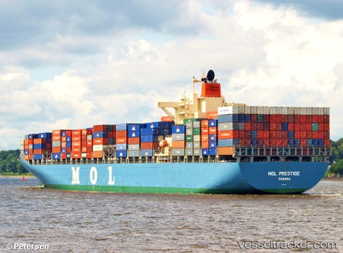
 PRESTIGE
Current Status
Where is the vessel?
PRESTIGE is currently in 322 nm NE of Windermere, based on AIS data received less than 1h ago.
Latest AIS update:
Current position: 30.25130° S, 13.88647° W (322 nm NE of Windermere)
Average speed (last 7 days): Loading…
Average speed (last 30 days): Loading…
Vessel profile: PRESTIGE is a Container Ship with dimensions 292m x 40m.
This page combines live AIS, route history, probable destination signals, nearby traffic, and port activity for practical vessel monitoring.
The current position of vessel PRESTIGE is -30.25130 lat / -13.88647 lng. Updated: 2026-04-20 10:20:59 UTCNearest reference points:
- Open sea, approx. 401 nm off the nearest listed port
- Open sea, approx. 402 nm off the nearest listed port
- Open sea, approx. 404 nm off the nearest listed port
Currently sailing under the flag of Marshall Islands ![]()
PRESTIGE built in 2006 year
Deadweight:
72968 tDetails:
Live Vessel PRESTIGE Analytics (details, animations, etc.)
Recent AIS points (UTC):
2026-04-20 06:04:14 UTC · -30.43198, -12.61416 · SOG 15.4 kn · COG 280°2026-04-20 07:14:19 UTC · -30.38333, -12.96167 · SOG 15 kn · COG -1°
2026-04-20 08:00:55 UTC · -30.35243, -13.19580 · SOG 15.7 kn · COG 279°
2026-04-20 10:20:59 UTC · -30.25130, -13.88647 · SOG 15.5 kn · COG 277°