 vesseltracker.com
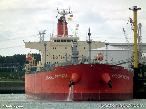
 SANMAR SAROD
Current Status
Where is the vessel?
SANMAR SAROD is currently in 13 nm SW of Banting, based on AIS data received less than 1h ago.
Latest AIS update:
Current position: 2.69983° N, 101.29278° E (13 nm SW of Banting)
Average speed (last 7 days): Loading…
Average speed (last 30 days): Loading…
Vessel profile: SANMAR SAROD is a Oil Products Tanker with dimensions m x m.
This page combines live AIS, route history, probable destination signals, nearby traffic, and port activity for practical vessel monitoring.
The current position of vessel SANMAR SAROD is 2.69983 lat / 101.29278 lng. Updated: 2026-04-21 21:26:34 UTCNearest reference points:
- 15 nm SW of Banting
- Near Pulau Indah
- Near Carey Island Estate
Currently sailing under the flag of India ![]()
Details:
Live Vessel SANMAR SAROD Analytics (details, animations, etc.)
Recent AIS points (UTC):
2026-04-21 18:12:33 UTC · 2.21093, 101.95262 · SOG 14.4 kn · COG 314°2026-04-21 19:28:10 UTC · 2.40988, 101.70908 · SOG 15.1 kn · COG 313°
2026-04-21 19:42:03 UTC · 2.44800, 101.66437 · SOG 15.1 kn · COG 313°
2026-04-21 21:26:34 UTC · 2.69983, 101.29278 · SOG 14.8 kn · COG 292°