 vesseltracker.com
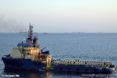
 DEFENDER
Current Status
Where is the vessel?
DEFENDER is currently in Near Al Hamriyah, based on AIS data received less than 1h ago.
Latest AIS update:
Current position: 25.47082° N, 55.51119° E (Near Al Hamriyah)
Average speed (last 7 days): Loading…
Average speed (last 30 days): Loading…
Vessel profile: DEFENDER is a Tug with dimensions m x m.
This page combines live AIS, route history, probable destination signals, nearby traffic, and port activity for practical vessel monitoring.
The current position of vessel DEFENDER is 25.47082 lat / 55.51119 lng. Updated: 2026-04-10 03:58:36 UTCNearest reference points:
- Near Al Hamriyah
- Near AJMAN
- Near Sharjah
Currently sailing under the flag of Comoros ![]()
Details:
Live Vessel DEFENDER Analytics (details, animations, etc.)
Recent AIS points (UTC):
2026-04-09 22:10:33 UTC · 25.47083, 55.51121 · SOG 0 kn · COG 51°2026-04-09 23:40:33 UTC · 25.47081, 55.51122 · SOG 0 kn · COG 49°
2026-04-10 02:28:32 UTC · 25.47079, 55.51121 · SOG 0 kn · COG 51°
2026-04-10 03:58:36 UTC · 25.47082, 55.51119 · SOG 0 kn · COG 51°