 vesseltracker.com
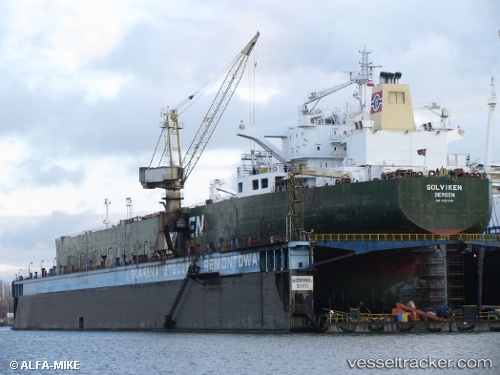
 OCEAN FAYE
Current Status
Where is the vessel?
OCEAN FAYE is currently in Near BATU AMPAR, based on AIS data received about 1h ago.
Latest AIS update:
Current position: 1.16195° N, 103.97058° E (Near BATU AMPAR)
Average speed (last 7 days): Loading…
Average speed (last 30 days): Loading…
Vessel profile: OCEAN FAYE is a Crude Oil Tanker with dimensions m x m.
This page combines live AIS, route history, probable destination signals, nearby traffic, and port activity for practical vessel monitoring.
The current position of vessel OCEAN FAYE is 1.16195 lat / 103.97058 lng. Updated: 2026-04-20 08:01:45 UTCNearest reference points:
- Near BATU AMPAR
- Near Sambu
- Near Sekupang
Currently sailing under the flag of Tanzania ![]()
Details:
Live Vessel OCEAN FAYE Analytics (details, animations, etc.)
Recent AIS points (UTC):
2026-04-20 04:43:48 UTC · 1.16174, 103.97071 · SOG 0.5 kn · COG -1°2026-04-20 06:13:48 UTC · 1.16187, 103.97063 · SOG 0 kn · COG -1°
2026-04-20 07:36:33 UTC · 1.16193, 103.97058 · SOG 0 kn · COG -1°
2026-04-20 08:01:45 UTC · 1.16195, 103.97058 · SOG 0 kn · COG -1°