 vesseltracker.com
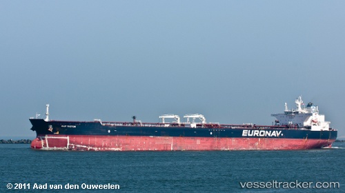
 THALATTA
Current Status
Where is the vessel?
THALATTA is currently in 70 nm S of Knysna, based on AIS data received less than 1h ago.
Latest AIS update:
Current position: 35.20012° S, 22.99200° E (70 nm S of Knysna)
Average speed (last 7 days): Loading…
Average speed (last 30 days): Loading…
Vessel profile: THALATTA is a Crude Oil Tanker with dimensions m x m.
This page combines live AIS, route history, probable destination signals, nearby traffic, and port activity for practical vessel monitoring.
The current position of vessel THALATTA is -35.20012 lat / 22.99200 lng. Updated: 2026-04-08 08:14:20 UTCNearest reference points:
- 37 nm S of Mosselbaai
- 16 nm S of Mosselbaai
- Near Mosselbaai
Currently sailing under the flag of Liberia ![]()
Details:
Live Vessel THALATTA Analytics (details, animations, etc.)
Recent AIS points (UTC):
2026-04-08 01:51:06 UTC · -34.95007, 25.02336 · SOG 14.7 kn · COG 252°2026-04-08 03:25:31 UTC · -35.04131, 24.54235 · SOG 16.4 kn · COG 263°
2026-04-08 05:49:50 UTC · -35.12246, 23.74450 · SOG 16.1 kn · COG 263°
2026-04-08 08:14:20 UTC · -35.20012, 22.99200 · SOG 14.1 kn · COG 269°