 vesseltracker.com
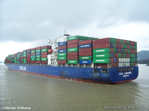
 CMA CGM MANTA RAY
Current Status
Where is the vessel?
CMA CGM MANTA RAY is currently in 15 nm SE of ZHOUSHAN, based on AIS data received less than 1h ago.
Latest AIS update:
Current position: 29.76364° N, 122.37698° E (15 nm SE of ZHOUSHAN)
Average speed (last 7 days): Loading…
Average speed (last 30 days): Loading…
Vessel profile: CMA CGM MANTA RAY is a Container Ship with dimensions 294m x 32m.
This page combines live AIS, route history, probable destination signals, nearby traffic, and port activity for practical vessel monitoring.
The current position of vessel CMA CGM MANTA RAY is 29.76364 lat / 122.37698 lng. Updated: 2026-04-19 15:25:40 UTCNearest reference points:
- 16 nm SE of ZHOUSHAN
- 12 nm SE of ZHOUSHAN
- Near ZHOUSHAN
Currently sailing under the flag of Malta ![]()
CMA CGM MANTA RAY built in 2007 year
Deadweight:
68008 tDetails:
Live Vessel CMA CGM MANTA RAY Analytics (details, animations, etc.)
Recent AIS points (UTC):
2026-04-19 11:28:41 UTC · 29.76148, 122.37595 · SOG 0 kn · COG 96°2026-04-19 13:10:41 UTC · 29.76235, 122.37581 · SOG 0 kn · COG 108°
2026-04-19 13:39:23 UTC · 29.76241, 122.37583 · SOG 0 kn · COG 110°
2026-04-19 15:25:40 UTC · 29.76364, 122.37698 · SOG 0 kn · COG 146°