 vesseltracker.com
 SING
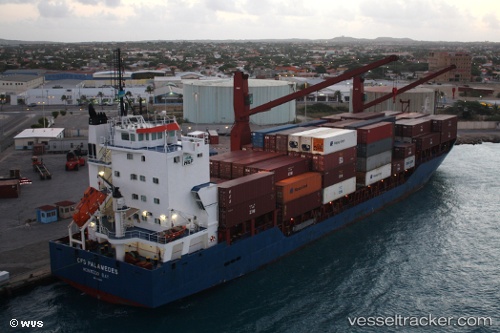
SING
Current Status
Where is the vessel?
SING is currently in 16 nm NW of SILE, based on AIS data received about 1h ago.
Latest AIS update:
Current position: 41.40972° N, 29.43105° E (16 nm NW of SILE)
Average speed (last 7 days): Loading…
Average speed (last 30 days): Loading…
Vessel profile: SING is a Cargo with dimensions m x m.
This page combines live AIS, route history, probable destination signals, nearby traffic, and port activity for practical vessel monitoring.
The current position of vessel SING is 41.40972 lat / 29.43105 lng. Updated: 2026-04-06 14:23:37 UTCNearest reference points:
- 19 nm NE of RUMELI FENERI
- Near RUMELI FENERI
- Near Kavacik
Currently sailing under the flag of Barbados ![]()
Details:
Live Vessel SING Analytics (details, animations, etc.)
Recent AIS points (UTC):
2026-04-06 08:19:51 UTC · 41.41662, 29.44024 · SOG 0.2 kn · COG 19°2026-04-06 09:24:13 UTC · 41.41331, 29.43933 · SOG 0.1 kn · COG 37°
2026-04-06 12:27:32 UTC · 41.41183, 29.42876 · SOG 0.4 kn · COG 12°
2026-04-06 14:23:37 UTC · 41.40972, 29.43105 · SOG 2.9 kn · COG 1°