 vesseltracker.com
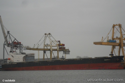
 PANAMAX NOSTOS
Current Status
Where is the vessel?
PANAMAX NOSTOS is currently in Near Mölle, based on AIS data received less than 1h ago.
Latest AIS update:
Current position: 56.25202° N, 12.28248° E (Near Mölle)
Average speed (last 7 days): Loading…
Average speed (last 30 days): Loading…
Vessel profile: PANAMAX NOSTOS is a Bulk Carrier with dimensions m x m.
This page combines live AIS, route history, probable destination signals, nearby traffic, and port activity for practical vessel monitoring.
The current position of vessel PANAMAX NOSTOS is 56.25202 lat / 12.28248 lng. Updated: 2026-04-02 05:52:21 UTCNearest reference points:
- 11 nm NW of Tisvilde
- Near Viken
- Near Helsingor
Currently sailing under the flag of Liberia ![]()
Details:
Live Vessel PANAMAX NOSTOS Analytics (details, animations, etc.)
Recent AIS points (UTC):
2026-04-02 00:09:42 UTC · 56.79743, 11.85440 · SOG 10.2 kn · COG 166°2026-04-02 02:10:52 UTC · 56.46598, 11.97667 · SOG 10.4 kn · COG 141°
2026-04-02 03:45:52 UTC · 56.35970, 12.14910 · SOG 2.3 kn · COG 149°
2026-04-02 05:52:21 UTC · 56.25202, 12.28248 · SOG 4.9 kn · COG 143°