 vesseltracker.com
 AQUILA
Current Status
Where is the vessel?
AQUILA is currently in 107 nm NW of Aquiraz, based on AIS data received about 2h ago.
Latest AIS update:
Current position: 2.66602° S, 29.68002° W (107 nm NW of Aquiraz)
Average speed (last 7 days): Loading…
Average speed (last 30 days): Loading…
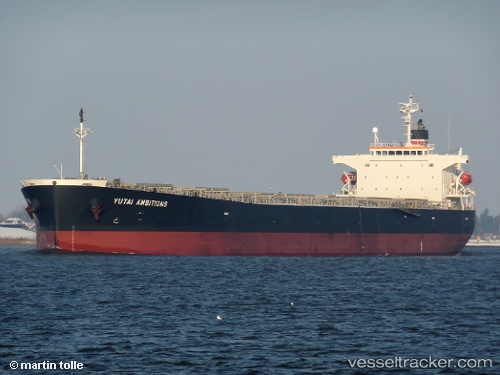
Vessel profile: AQUILA is a Bulk Carrier with dimensions 32m x 225m.
This page combines live AIS, route history, probable destination signals, nearby traffic, and port activity for practical vessel monitoring.
The current position of vessel AQUILA is -2.66602 lat / -29.68002 lng. Updated: 2026-03-27 18:17:06 UTCCurrently sailing under the flag of Marshall Islands ![]()
AQUILA built in 2008 year
Deadweight:
77283 tDetails:
Live Vessel AQUILA Analytics (details, animations, etc.)
Recent AIS points (UTC):
2026-03-27 13:43:44 UTC · -3.40303, -30.03709 · SOG 11.6 kn · COG 28°2026-03-27 14:23:35 UTC · -3.28698, -29.98114 · SOG 11.6 kn · COG 28°
2026-03-27 15:25:35 UTC · -3.11094, -29.89572 · SOG 11.3 kn · COG 25°
2026-03-27 18:17:06 UTC · -2.66602, -29.68002 · SOG 9.5 kn · COG 27°