 vesseltracker.com
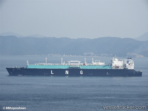
Seri Ayu
Current StatusWhere is the vessel?
Seri Ayu is currently in 88 nm SE of Minachi, based on AIS data received about 1h ago.
Latest AIS update:
Current position: 32.69653° N, 136.87569° E (88 nm SE of Minachi)
Average speed (last 7 days): Loading…
Average speed (last 30 days): Loading…
Vessel profile: Seri Ayu is a Lng Tanker with dimensions 43m x 283m.
This page combines live AIS, route history, probable destination signals, nearby traffic, and port activity for practical vessel monitoring.
The current position of vessel Seri Ayu is 32.69653 lat / 136.87569 lng. Updated: 2026-04-12 15:29:13 UTCNearest reference points:
- 88 nm SE of Minachi
- 20 nm S of HAMAJIMA
- 23 nm S of Minachi
Details:
Live Vessel Seri Ayu Analytics (details, animations, etc.)
Recent AIS points (UTC):
2026-04-12 09:28:46 UTC · 31.88368, 135.35081 · SOG 15.1 kn · COG 60°2026-04-12 11:09:55 UTC · 32.10022, 135.78558 · SOG 15.5 kn · COG 60°
2026-04-12 13:43:08 UTC · 32.45998, 136.41444 · SOG 15.3 kn · COG 56°
2026-04-12 15:29:13 UTC · 32.69653, 136.87569 · SOG 15.5 kn · COG 57°