 vesseltracker.com
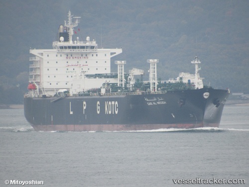
Gas Al Negeh
Current StatusWhere is the vessel?
Gas Al Negeh is currently in 359 nm SW of Veraval, based on AIS data received about 3h ago.
Latest AIS update:
Current position: 17.24030° N, 65.35517° E (359 nm SW of Veraval)
Average speed (last 7 days): Loading…
Average speed (last 30 days): Loading…
Vessel profile: Gas Al Negeh is a Lpg Tanker with dimensions 36m x 225m.
This page combines live AIS, route history, probable destination signals, nearby traffic, and port activity for practical vessel monitoring.
The current position of vessel Gas Al Negeh is 17.24030 lat / 65.35517 lng. Updated: 2026-03-28 16:55:43 UTCNearest reference points:
- Open sea, approx. 401 nm off the nearest listed port
- Open sea, approx. 402 nm off the nearest listed port
- Open sea, approx. 403 nm off the nearest listed port
Details:
Live Vessel Gas Al Negeh Analytics (details, animations, etc.)
Recent AIS points (UTC):
2026-03-28 11:41:01 UTC · 17.26804, 65.14277 · SOG 11 kn · COG 50°2026-03-28 12:05:02 UTC · 17.30774, 65.21776 · SOG 12.4 kn · COG 64°
2026-03-28 12:05:02 UTC · 17.30774, 65.21776 · SOG 12.4 kn · COG 64°
2026-03-28 16:55:43 UTC · 17.24030, 65.35517 · SOG 1 kn · COG 139°