 vesseltracker.com
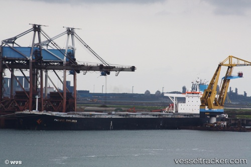
 Satori
Current Status
Where is the vessel?
Satori is currently in Near Luoyuanwan, based on AIS data received about 1d ago.
Latest AIS update:
Current position: 26.45353° N, 119.70590° E (Near Luoyuanwan)
Average speed (last 7 days): Loading…
Average speed (last 30 days): Loading…
Vessel profile: Satori is a Ore Carrier with dimensions 289m x 45m.
This page combines live AIS, route history, probable destination signals, nearby traffic, and port activity for practical vessel monitoring.
The current position of vessel Satori is 26.45353 lat / 119.70590 lng. Updated: 2026-04-10 08:10:41 UTCNearest reference points:
- Near LUOYUAN
- Near Dongdaiwan
- Near Beijiao
Currently sailing under the flag of Marshall Is ![]()
Satori built in 2007 year
Deadweight:
177456 tDetails:
Live Vessel Satori Analytics (details, animations, etc.)
Recent AIS points (UTC):
2026-04-10 01:37:43 UTC · 26.45353, 119.70600 · SOG 0 kn · COG 308°2026-04-10 04:10:43 UTC · 26.45348, 119.70590 · SOG 0 kn · COG 308°
2026-04-10 05:52:39 UTC · 26.45345, 119.70600 · SOG 0 kn · COG 308°
2026-04-10 08:10:41 UTC · 26.45353, 119.70590 · SOG 0 kn · COG 308°