 vesseltracker.com
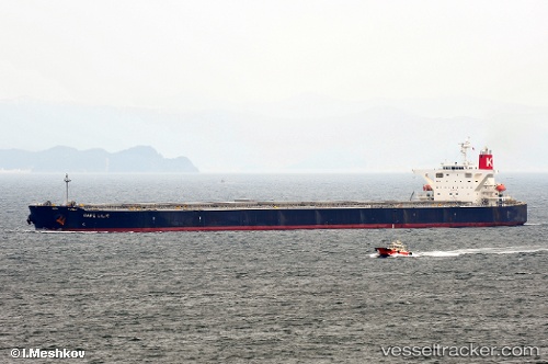
 SUNNY FRIA
Current Status
Where is the vessel?
SUNNY FRIA is currently in 20 nm S of Saint-Joseph, based on AIS data received about 1h ago.
Latest AIS update:
Current position: 21.69310° S, 55.65725° E (20 nm S of Saint-Joseph)
Average speed (last 7 days): Loading…
Average speed (last 30 days): Loading…
Vessel profile: SUNNY FRIA is a Bulk Carrier with dimensions m x m.
This page combines live AIS, route history, probable destination signals, nearby traffic, and port activity for practical vessel monitoring.
The current position of vessel SUNNY FRIA is -21.69310 lat / 55.65725 lng. Updated: 2026-04-03 21:40:08 UTCNearest reference points:
- 129 nm W of Al Azaiba
- 61 nm NW of Al Azaiba
- Near Port Louis
Currently sailing under the flag of Panama ![]()
Details:
Live Vessel SUNNY FRIA Analytics (details, animations, etc.)
Recent AIS points (UTC):
2026-04-03 15:55:36 UTC · -20.98755, 56.44683 · SOG 11.8 kn · COG 221°2026-04-03 18:26:48 UTC · -21.34885, 56.11330 · SOG 10.2 kn · COG 220°
2026-04-03 19:24:17 UTC · -21.47697, 55.99687 · SOG 10.8 kn · COG 222°
2026-04-03 21:40:08 UTC · -21.69310, 55.65725 · SOG 10.4 kn · COG 235°