 vesseltracker.com
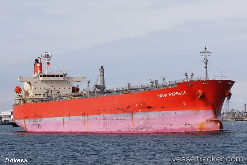
Vessel FLORENCE IMO: 9333242, MMSI: 371924000 Chemical Oil Products Tanker
UTC, 12.50059, 109.30251, course: 267, speed: 0
UTC, 12.50058, 109.30251, course: 267, speed: 0
2026-02-21 12:25:58 UTC, 12.50056, 109.30253, course: 267, speed: 0
Live AIS position:
UTC. Near Ninh Hòa),
updated 2026-02-21 12:25:58 UTC.
Find the position of the vessel FLORENCE on the map. The latter are known coordinates and path.
marine traffic ship tracker show on live map
The current position of vessel FLORENCE is 12.50056 lat / 109.30253 lng. Updated: 2026-02-21 12:25:58 UTCCurrently sailing under the flag of Panama
FLORENCE built in 2006 year
Deadweight:
47999 tDetails:
Last coordinates of the vessel:
UTC, 12.50059, 109.30251, course: 267, speed: 0UTC, 12.50059, 109.30251, course: 267, speed: 0
UTC, 12.50058, 109.30251, course: 267, speed: 0
2026-02-21 12:25:58 UTC, 12.50056, 109.30253, course: 267, speed: 0