 vesseltracker.com
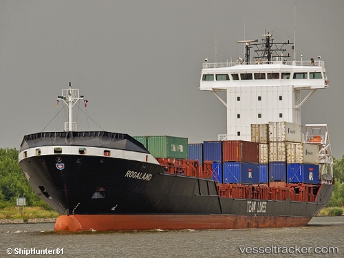
Tancang Glory
Current StatusWhere is the vessel?
Tancang Glory is currently in Near Dinh Vu Terminal, based on AIS data received about 8d ago.
Latest AIS update:
Current position: 20.95148° N, 106.74553° E (Near Dinh Vu Terminal)
Average speed (last 7 days): Loading…
Average speed (last 30 days): Loading…
Vessel profile: Tancang Glory is a Container Ship with dimensions 18m x 133m.
This page combines live AIS, route history, probable destination signals, nearby traffic, and port activity for practical vessel monitoring.
The current position of vessel Tancang Glory is 20.95148 lat / 106.74553 lng. Updated: 2026-04-04 08:54:46 UTCNearest reference points:
- Near Dinh Vu Terminal
- Near Chua Ve Terminal
- Near HAI PHONG
Details:
Live Vessel Tancang Glory Analytics (details, animations, etc.)
Recent AIS points (UTC):
2026-03-31 07:53:06 UTC · 20.95147, 106.74545 · SOG 0 kn · COG -1°2026-04-04 07:53:02 UTC · 20.95152, 106.74552 · SOG 0 kn · COG -1°
2026-04-04 08:54:46 UTC · 20.95148, 106.74553 · SOG 0 kn · COG -1°
2026-04-04 08:54:46 UTC · 20.95148, 106.74553 · SOG 0 kn · COG -1°