 vesseltracker.com
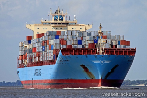
 Maersk Tukang
Current Status
Where is the vessel?
Maersk Tukang is currently in Near Colombo, based on AIS data received less than 1h ago.
Latest AIS update:
Current position: 6.94755° N, 79.82739° E (Near Colombo)
Average speed (last 7 days): Loading…
Average speed (last 30 days): Loading…
Vessel profile: Maersk Tukang is a Container Ship with dimensions 332m x 43m.
This page combines live AIS, route history, probable destination signals, nearby traffic, and port activity for practical vessel monitoring.
The current position of vessel Maersk Tukang is 6.94755 lat / 79.82739 lng. Updated: 2026-04-03 20:11:26 UTCNearest reference points:
- 19 nm SW of Bataduwa
- 67 nm SW of Moratuwa
- 38 nm SW of Galle
Currently sailing under the flag of Singapore ![]()
Maersk Tukang built in 2008 year
Deadweight:
107404 tDetails:
Live Vessel Maersk Tukang Analytics (details, animations, etc.)
Recent AIS points (UTC):
2026-04-03 13:56:27 UTC · 6.94752, 79.82735 · SOG 0 kn · COG 0°2026-04-03 16:05:26 UTC · 6.94753, 79.82740 · SOG 0 kn · COG 0°
2026-04-03 17:26:26 UTC · 6.94752, 79.82737 · SOG 0 kn · COG 0°
2026-04-03 20:11:26 UTC · 6.94755, 79.82739 · SOG 0 kn · COG 0°