 vesseltracker.com
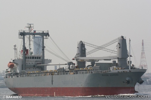
 GSM JAYA
Current Status
Where is the vessel?
GSM JAYA is currently in 11 nm S of Bangpoomai, based on AIS data received less than 1h ago.
Latest AIS update:
Current position: 13.31137° N, 100.61300° E (11 nm S of Bangpoomai)
Average speed (last 7 days): Loading…
Average speed (last 30 days): Loading…
Vessel profile: GSM JAYA is a General Cargo with dimensions m x m.
This page combines live AIS, route history, probable destination signals, nearby traffic, and port activity for practical vessel monitoring.
The current position of vessel GSM JAYA is 13.31137 lat / 100.61300 lng. Updated: 2026-04-19 21:58:59 UTCNearest reference points:
- Near Bangpoomai
- Near NH Prosperity
- Near KO SICHANG
Currently sailing under the flag of Indonesia ![]()
Details:
Live Vessel GSM JAYA Analytics (details, animations, etc.)
Recent AIS points (UTC):
2026-04-19 16:20:12 UTC · 13.32595, 100.60635 · SOG 0.6 kn · COG 148°2026-04-19 18:05:32 UTC · 13.32938, 100.60630 · SOG 0.5 kn · COG 176°
2026-04-19 19:39:03 UTC · 13.31138, 100.61287 · SOG 0.6 kn · COG 179°
2026-04-19 21:58:59 UTC · 13.31137, 100.61300 · SOG 0.3 kn · COG -1°