 vesseltracker.com
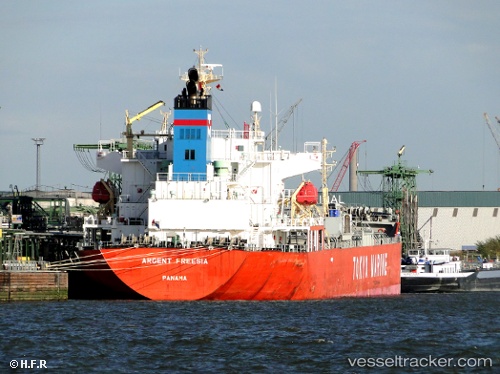
 Elenore
Current Status
Where is the vessel?
Elenore is currently in 22 nm S of Moorreesburg, based on AIS data received about 2h ago.
Latest AIS update:
Current position: 34.86449° S, 18.59785° E (22 nm S of Moorreesburg)
Average speed (last 7 days): Loading…
Average speed (last 30 days): Loading…
Vessel profile: Elenore is a Chemical Tanker with dimensions 178m x 178m.
This page combines live AIS, route history, probable destination signals, nearby traffic, and port activity for practical vessel monitoring.
The current position of vessel Elenore is -34.86449 lat / 18.59785 lng. Updated: 2026-04-17 19:35:53 UTCNearest reference points:
- 15 nm SE of Moorreesburg
- 18 nm SW of Cape Of Good Hope
- Near Mitchells Plain
Currently sailing under the flag of Panama ![]()
Elenore built in 2010 year
Deadweight:
34569 tDetails:
Live Vessel Elenore Analytics (details, animations, etc.)
Recent AIS points (UTC):
2026-04-17 14:19:39 UTC · -34.58125, 17.35938 · SOG 11.3 kn · COG 109°2026-04-17 16:00:06 UTC · -34.68712, 17.72730 · SOG 11.6 kn · COG 110°
2026-04-17 17:21:38 UTC · -34.76073, 18.04508 · SOG 12.4 kn · COG 109°
2026-04-17 19:35:53 UTC · -34.86449, 18.59785 · SOG 12.4 kn · COG 99°