 vesseltracker.com
 PARVRAJ
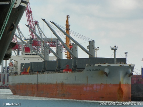
Current Status
Where is the vessel?
PARVRAJ is currently in Near Okha, based on AIS data received about 3h ago.
Latest AIS update:
Current position: 22.53111° N, 69.09116° E (Near Okha)
Average speed (last 7 days): Loading…
Average speed (last 30 days): Loading…
Vessel profile: PARVRAJ is a Bulk Carrier with dimensions 32m x 190m.
This page combines live AIS, route history, probable destination signals, nearby traffic, and port activity for practical vessel monitoring.
The current position of vessel PARVRAJ is 22.53111 lat / 69.09116 lng. Updated: 2026-04-06 04:04:15 UTCNearest reference points:
- 13 nm W of Måndvi
- Near Khambhaliya
- Near SIKKA
Currently sailing under the flag of Marshall Islands ![]()
PARVRAJ built in 2006 year
Deadweight:
55863 tDetails:
Live Vessel PARVRAJ Analytics (details, animations, etc.)
Recent AIS points (UTC):
2026-04-05 23:22:17 UTC · 22.52941, 69.08729 · SOG 0 kn · COG 46°2026-04-06 01:58:17 UTC · 22.52902, 69.08714 · SOG 0.1 kn · COG 32°
2026-04-06 03:34:14 UTC · 22.53093, 69.09107 · SOG 0 kn · COG 264°
2026-04-06 04:04:15 UTC · 22.53111, 69.09116 · SOG 0 kn · COG 260°