 vesseltracker.com
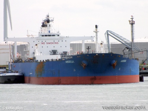
 CRONUS
Current Status
Where is the vessel?
CRONUS is currently in Near Wickham, based on AIS data received about 1h ago.
Latest AIS update:
Current position: 32.91376° S, 151.77229° E (Near Wickham)
Average speed (last 7 days): Loading…
Average speed (last 30 days): Loading…
Vessel profile: CRONUS is a Crude Oil Tanker with dimensions m x m.
This page combines live AIS, route history, probable destination signals, nearby traffic, and port activity for practical vessel monitoring.
The current position of vessel CRONUS is -32.91376 lat / 151.77229 lng. Updated: 2026-04-22 22:07:01 UTCNearest reference points:
- Near Warners Bay
- Near Caves Beach
- Near BILGOLA PLATEAU
Currently sailing under the flag of Marshall Islands ![]()
Details:
Live Vessel CRONUS Analytics (details, animations, etc.)
Recent AIS points (UTC):
2026-04-22 20:01:01 UTC · -32.91376, 151.77229 · SOG 0 kn · COG 344°2026-04-22 20:19:04 UTC · -32.91376, 151.77228 · SOG 0 kn · COG 344°
2026-04-22 22:07:01 UTC · -32.91376, 151.77229 · SOG 0 kn · COG 345°
2026-04-22 22:07:01 UTC · -32.91376, 151.77229 · SOG 0 kn · COG 345°