 vesseltracker.com
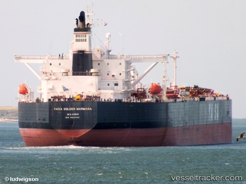
 OCEANID
Current Status
Where is the vessel?
OCEANID is currently in 31 nm S of Kozmino Port, based on AIS data received about 1h ago.
Latest AIS update:
Current position: 42.19751° N, 133.01788° E (31 nm S of Kozmino Port)
Average speed (last 7 days): Loading…
Average speed (last 30 days): Loading…
Vessel profile: OCEANID is a Crude Oil Tanker with dimensions m x m.
This page combines live AIS, route history, probable destination signals, nearby traffic, and port activity for practical vessel monitoring.
The current position of vessel OCEANID is 42.19751 lat / 133.01788 lng. Updated: 2026-04-20 07:09:24 UTCNearest reference points:
- 35 nm S of Vrangel'
- 29 nm SE of Vrangel'
- 11 nm SE of Vrangel'
Currently sailing under the flag of Panama ![]()
Details:
Live Vessel OCEANID Analytics (details, animations, etc.)
Recent AIS points (UTC):
2026-04-20 04:15:05 UTC · 42.33726, 132.91003 · SOG 2 kn · COG 351°2026-04-20 04:24:14 UTC · 42.34047, 132.90373 · SOG 2 kn · COG 345°
2026-04-20 05:39:24 UTC · 42.36843, 132.87529 · SOG 4.2 kn · COG 140°
2026-04-20 07:09:24 UTC · 42.19751, 133.01788 · SOG 8.6 kn · COG 152°