 vesseltracker.com
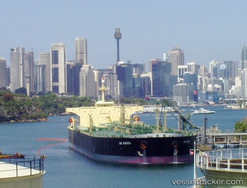
Banda Sea
Current StatusWhere is the vessel?
Banda Sea is currently in 48 nm N of AL SUWAIQ, based on AIS data received about 7h ago.
Latest AIS update:
Current position: 24.64504° N, 57.40346° E (48 nm N of AL SUWAIQ)
Average speed (last 7 days): Loading…
Average speed (last 30 days): Loading…
Vessel profile: Banda Sea is a Crude Oil Tanker with dimensions 42m x 238m.
This page combines live AIS, route history, probable destination signals, nearby traffic, and port activity for practical vessel monitoring.
The current position of vessel Banda Sea is 24.64504 lat / 57.40346 lng. Updated: 2026-04-04 10:19:26 UTCNearest reference points:
- 42 nm SE of Offshore Fujairah
- 18 nm SE of SHINAS
- 58 nm S of JASK
Details:
Live Vessel Banda Sea Analytics (details, animations, etc.)
Recent AIS points (UTC):
2026-04-04 06:09:38 UTC · 25.06891, 56.66637 · SOG 11.6 kn · COG 102°2026-04-04 06:09:38 UTC · 25.06891, 56.66637 · SOG 11.6 kn · COG 102°
2026-04-04 10:19:26 UTC · 24.64504, 57.40346 · SOG 12.6 kn · COG 125°
2026-04-04 10:19:26 UTC · 24.64504, 57.40346 · SOG 12.6 kn · COG 125°