 vesseltracker.com
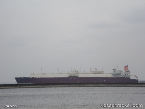
 Al Hamla
Current Status
Where is the vessel?
Al Hamla is currently in 93 nm SE of Kalpeni Island, based on AIS data received less than 1h ago.
Latest AIS update:
Current position: 8.85667° N, 74.60833° E (93 nm SE of Kalpeni Island)
Average speed (last 7 days): Loading…
Average speed (last 30 days): Loading…
Vessel profile: Al Hamla is a Lng Tanker with dimensions 315m x 50m.
This page combines live AIS, route history, probable destination signals, nearby traffic, and port activity for practical vessel monitoring.
The current position of vessel Al Hamla is 8.85667 lat / 74.60833 lng. Updated: 2026-04-20 01:37:27 UTCNearest reference points:
- 45 nm SW of Kalpeni Island
- Near Cochin
- Near Edappally
Currently sailing under the flag of Marshall Is ![]()
Al Hamla built in 2008 year
Deadweight:
107514 tDetails:
Live Vessel Al Hamla Analytics (details, animations, etc.)
Recent AIS points (UTC):
2026-04-19 23:01:34 UTC · 8.83833, 74.57833 · SOG 1 kn · COG -1°2026-04-19 23:58:28 UTC · 8.84500, 74.58833 · SOG 1 kn · COG -1°
2026-04-20 01:25:33 UTC · 8.85500, 74.60500 · SOG 1 kn · COG -1°
2026-04-20 01:37:27 UTC · 8.85667, 74.60833 · SOG 1 kn · COG -1°