 vesseltracker.com
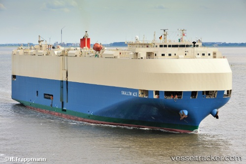
 SWALLOW ACE
Current Status
Where is the vessel?
SWALLOW ACE is currently in 26 nm SW of Stackpole Quay, based on AIS data received about 2h ago.
Latest AIS update:
Current position: 51.23949° N, 5.21808° W (26 nm SW of Stackpole Quay)
Average speed (last 7 days): Loading…
Average speed (last 30 days): Loading…
Vessel profile: SWALLOW ACE is a Vehicles Carrier with dimensions m x m.
This page combines live AIS, route history, probable destination signals, nearby traffic, and port activity for practical vessel monitoring.
The current position of vessel SWALLOW ACE is 51.23949 lat / -5.21808 lng. Updated: 2026-03-27 04:05:37 UTCNearest reference points:
- 10 nm NW of Grampound
- Near Falmouth
- Near Flushing
Currently sailing under the flag of Japan ![]()
Details:
Live Vessel SWALLOW ACE Analytics (details, animations, etc.)
Recent AIS points (UTC):
2026-03-26 21:58:07 UTC · 51.11407, -5.28930 · SOG 1.6 kn · COG 155°2026-03-27 00:01:46 UTC · 51.16057, -5.24437 · SOG 1.4 kn · COG 148°
2026-03-27 02:16:36 UTC · 51.21111, -5.23069 · SOG 1.1 kn · COG 146°
2026-03-27 04:05:37 UTC · 51.23949, -5.21808 · SOG 1.3 kn · COG 148°