 vesseltracker.com
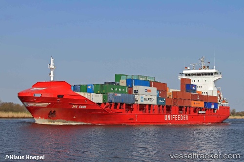
Hai Su 7
Current StatusWhere is the vessel?
Hai Su 7 is currently in Near Pei-Hai, based on AIS data received about 1h ago.
Latest AIS update:
Current position: 20.42158° N, 108.87121° E (Near Pei-Hai)
Average speed (last 7 days): Loading…
Average speed (last 30 days): Loading…
Vessel profile: Hai Su 7 is a Container Ship with dimensions 21m x 130m.
This page combines live AIS, route history, probable destination signals, nearby traffic, and port activity for practical vessel monitoring.
The current position of vessel Hai Su 7 is 20.42158 lat / 108.87121 lng. Updated: 2026-04-13 11:51:39 UTCNearest reference points:
- Near Haikou New Pt
- 36 nm NW of Pei-Hai
- 10 nm W of Yangpu Pt
Details:
Live Vessel Hai Su 7 Analytics (details, animations, etc.)
Recent AIS points (UTC):
2026-04-13 05:32:13 UTC · 20.20589, 110.39593 · SOG 14.9 kn · COG 258°2026-04-13 07:23:59 UTC · 20.16876, 109.91455 · SOG 15.3 kn · COG 297°
2026-04-13 09:58:13 UTC · 20.38952, 109.31144 · SOG 13.4 kn · COG 275°
2026-04-13 11:51:39 UTC · 20.42158, 108.87121 · SOG 12.8 kn · COG 280°