 vesseltracker.com
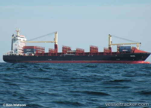
 LM ARES
Current Status
Where is the vessel?
LM ARES is currently in Near PHILIPSBURG, based on AIS data received less than 1h ago.
Latest AIS update:
Current position: 18.00593° N, 63.05946° W (Near PHILIPSBURG)
Average speed (last 7 days): Loading…
Average speed (last 30 days): Loading…
Vessel profile: LM ARES is a Container Ship with dimensions m x m.
This page combines live AIS, route history, probable destination signals, nearby traffic, and port activity for practical vessel monitoring.
The current position of vessel LM ARES is 18.00593 lat / -63.05946 lng. Updated: 2026-04-21 01:28:36 UTCNearest reference points:
- Near ST MAARTEN
- Near GUSTAVIA
- Near Spanish Town
Currently sailing under the flag of Liberia ![]()
Details:
Live Vessel LM ARES Analytics (details, animations, etc.)
Recent AIS points (UTC):
2026-04-20 21:37:53 UTC · 18.00888, -63.04451 · SOG 0 kn · COG 7°2026-04-20 22:43:52 UTC · 18.00889, -63.04451 · SOG 0 kn · COG 6°
2026-04-21 00:01:51 UTC · 18.00888, -63.04451 · SOG 0 kn · COG 6°
2026-04-21 01:28:36 UTC · 18.00593, -63.05946 · SOG 6 kn · COG 271°