 vesseltracker.com
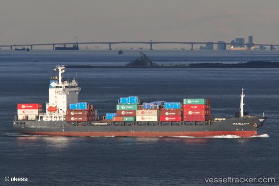
 Marcliff
Current Status
Where is the vessel?
Marcliff is currently in 116 nm SW of Ulju-gun/Ulsan, based on AIS data received about 7h ago.
Latest AIS update:
Current position: 31.02987° N, 127.86196° E (116 nm SW of Ulju-gun/Ulsan)
Average speed (last 7 days): Loading…
Average speed (last 30 days): Loading…
Vessel profile: Marcliff is a Container Ship with dimensions 143m x 143m.
This page combines live AIS, route history, probable destination signals, nearby traffic, and port activity for practical vessel monitoring.
The current position of vessel Marcliff is 31.02987 lat / 127.86196 lng. Updated: 2026-04-18 03:43:38 UTCNearest reference points:
- 131 nm SW of Ulju-gun/Ulsan
- 143 nm S of Seogwipo
- 163 nm S of Seogwipo
Currently sailing under the flag of Antigua Barbuda ![]()
Marcliff built in 2007 year
Deadweight:
12779 tDetails:
Live Vessel Marcliff Analytics (details, animations, etc.)
Recent AIS points (UTC):
2026-04-18 01:28:25 UTC · 31.04117, 127.22444 · SOG 14.3 kn · COG -1°2026-04-18 03:43:38 UTC · 31.02987, 127.86196 · SOG 15.6 kn · COG -1°
2026-04-18 03:43:38 UTC · 31.02987, 127.86196 · SOG 15.6 kn · COG -1°
2026-04-18 03:43:38 UTC · 31.02987, 127.86196 · SOG 15.6 kn · COG -1°