 vesseltracker.com
 GLEVIN
Current Status
Where is the vessel?
GLEVIN is currently in Near As Suways (Suez), based on AIS data received less than 1h ago.
Latest AIS update:
Current position: 30.08007° N, 32.57153° E (Near As Suways (Suez))
Average speed (last 7 days): Loading…
Average speed (last 30 days): Loading…
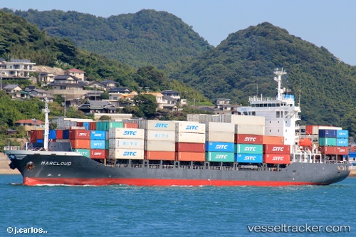
Vessel profile: GLEVIN is a Container Ship with dimensions m x m.
This page combines live AIS, route history, probable destination signals, nearby traffic, and port activity for practical vessel monitoring.
The current position of vessel GLEVIN is 30.08007 lat / 32.57153 lng. Updated: 2026-04-14 14:17:47 UTCNearest reference points:
- Near As Suways (Suez)
- Near SUEZ PORT
- Near SUEZ CANAL
Currently sailing under the flag of Barbados ![]()
Details:
Live Vessel GLEVIN Analytics (details, animations, etc.)
Recent AIS points (UTC):
2026-04-14 07:11:27 UTC · 31.14270, 32.32102 · SOG 9.9 kn · COG 195°2026-04-14 10:04:21 UTC · 30.69887, 32.34353 · SOG 9 kn · COG 191°
2026-04-14 11:57:20 UTC · 30.43734, 32.35338 · SOG 11 kn · COG 172°
2026-04-14 14:17:47 UTC · 30.08007, 32.57153 · SOG 12.4 kn · COG 179°