 vesseltracker.com
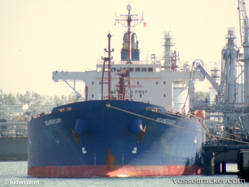
 HARDRADA
Current Status
Where is the vessel?
HARDRADA is currently in 19 nm S of Vasilikos, based on AIS data received less than 1h ago.
Latest AIS update:
Current position: 34.39818° N, 33.37111° E (19 nm S of Vasilikos)
Average speed (last 7 days): Loading…
Average speed (last 30 days): Loading…
Vessel profile: HARDRADA is a Oil Products Tanker with dimensions 180m x 32m.
This page combines live AIS, route history, probable destination signals, nearby traffic, and port activity for practical vessel monitoring.
The current position of vessel HARDRADA is 34.39818 lat / 33.37111 lng. Updated: 2026-04-21 04:39:54 UTCNearest reference points:
- 17 nm S of Vasilikos
- 31 nm SE of Vasilikos
- Near Limassol
Currently sailing under the flag of Liberia ![]()
HARDRADA built in 2007 year
Deadweight:
45983 tDetails:
Live Vessel HARDRADA Analytics (details, animations, etc.)
Recent AIS points (UTC):
2026-04-21 01:53:11 UTC · 34.39225, 33.33926 · SOG 0.5 kn · COG 331°2026-04-21 02:06:50 UTC · 34.39256, 33.34139 · SOG 0.5 kn · COG 334°
2026-04-21 04:02:50 UTC · 34.39576, 33.36366 · SOG 0.6 kn · COG 343°
2026-04-21 04:39:54 UTC · 34.39818, 33.37111 · SOG 0.6 kn · COG 331°